If you read nothing else
- A steep outlet glacier that pours off the Vatnajökull ice cap and breaks into an icefall above Skaftafell.[1]
- Skaftafell is about 327 km (203 miles) from Reykjavík by car via Route 1, a drive of approximately 4.5 hours.[2]
- Ice caves in Vatnajökull are only accessible during winter months, from November and usually throughout March.[3]
- A four hour small group ice cave and glacier hike from Skaftafell, limited to 12 participants, from US$167.[4]
- Vatnajökull averages about 380 metres thick, and in places it is almost a kilometre deep.[5]
- Top choice Blue Ice Cave & Hike from US$167 Rating4.62 from 848 reviews[4]Duration4 hours[4]GuideLive tour guide: English[4]CancellationCancel up to 24 hours in advance[4] Check availability
- Blue Ice Glacier Hike from US$106 Rating4.71 from 1,357 reviews[6]Duration4 hours[6]GuideLive tour guide: English[6]CancellationCancel up to 24 hours in advance[6] See this tour
- Ice Cave and Glacier Hike from US$162 Rating4.53 from 1,962 reviews[7]Duration4 hours[7]GuideLive tour guide: English[7]CancellationCancel up to 24 hours in advance[7] See this tour
Skaftafell is easily accessible by car from Reykjavík , which is about 327 km (203 miles) away, a drive that takes approximately 4.5 hours via Route 1, also known as the Ring Road.
Is the Falljökull ice cave and glacier hike worth it?
Getting there and sorting the basics
- Reykjavík to Skaftafell: about 327 km (203 miles) via Route 1, roughly a 4.5 hour drive.[2]
- Skaftafell to Jökulsárlón: 35.4 miles (57 km), about 50 minutes in normal traffic.[8]
- Parking at Skaftafell: 1,110 ISK for a passenger car with 5 or fewer seats.[9]
- Skaftafellsstofa Visitor Centre: 10-17 in January-February, 9-19 in June-August.[10]
On the ice and in the cave
Falljökull, the falling glacier above Skaftafell
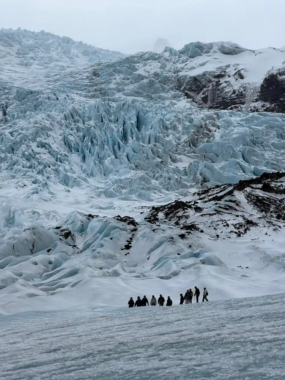
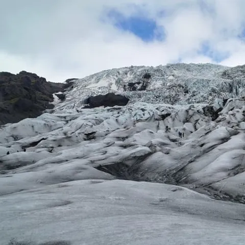
Falljökull spills off the southern edge of the glacier Vatnajökull, Iceland's largest glacier, and drops towards the Skaftafell valley in a broken white cascade.[11] It is an outlet glacier of the Vatnajökull ice cap, one of the tongues that carry ice down from the high plateau towards lower ground.[1] From the road below, it looks like a frozen waterfall: a rounded upper slope that tears itself apart into towers, ribs and shattered blocks the further it falls. The name fits the shape. Falljökull is the falling glacier, and on a quiet morning the low creak and crack of moving ice carries right across the valley.
The ice field behind it is enormous. Vatnajökull covers approximately 8,100 square kilometres (3,127 square miles) and is the largest glacier in both Iceland and Europe.[11] Falljökull is one small exit from that mass, funnelled down a steep slope rather than spread out across a broad plain, so the surface you see in one week is rarely the surface you see in the next. The glacier sits inside Vatnajökull National Park, which was inscribed on UNESCO's list of World Heritage Sites on 5 July 2019.[12] The park takes in ice caps, outlet glaciers, meltwater plains and the green strip of Skaftafell itself.
How Falljökull differs from Skaftafellsjökull
Two glaciers are usually within sight at Skaftafell, and they behave very differently. Skaftafellsjökull is the broad, flatter tongue that you can see from the visitor centre and reach across the heath, with a dark snout streaked with debris. Falljökull is the steeper one, higher up the valley, where the ice crosses a series of steps and breaks into the jumble of blocks that gives an icefall its character. Both are arms of the same ice cap, and both are watched by the same guides, but only one of them tumbles. Standing between the two, with the flat tongue on one side and the icefall on the other, shows what a difference a change of slope makes.
A guided hike is the straightforward way onto the ice here, and the steeper tongue gives you crevasses, ice ridges and a real sense of height within a short distance of the road. Skaftafell itself is about 327 km (203 miles) from Reykjavík by car via Route 1, a drive of approximately 4.5 hours, so it works best as an overnight stop rather than a dash out from the city.[2] Once you are here, Jökulsárlón is close: the direct drive from Skaftafell is 35.4 miles (57 km) and takes about 50 minutes in normal traffic.[8] That short hop east makes it easy to pair a glacier morning with an afternoon at the lagoon.
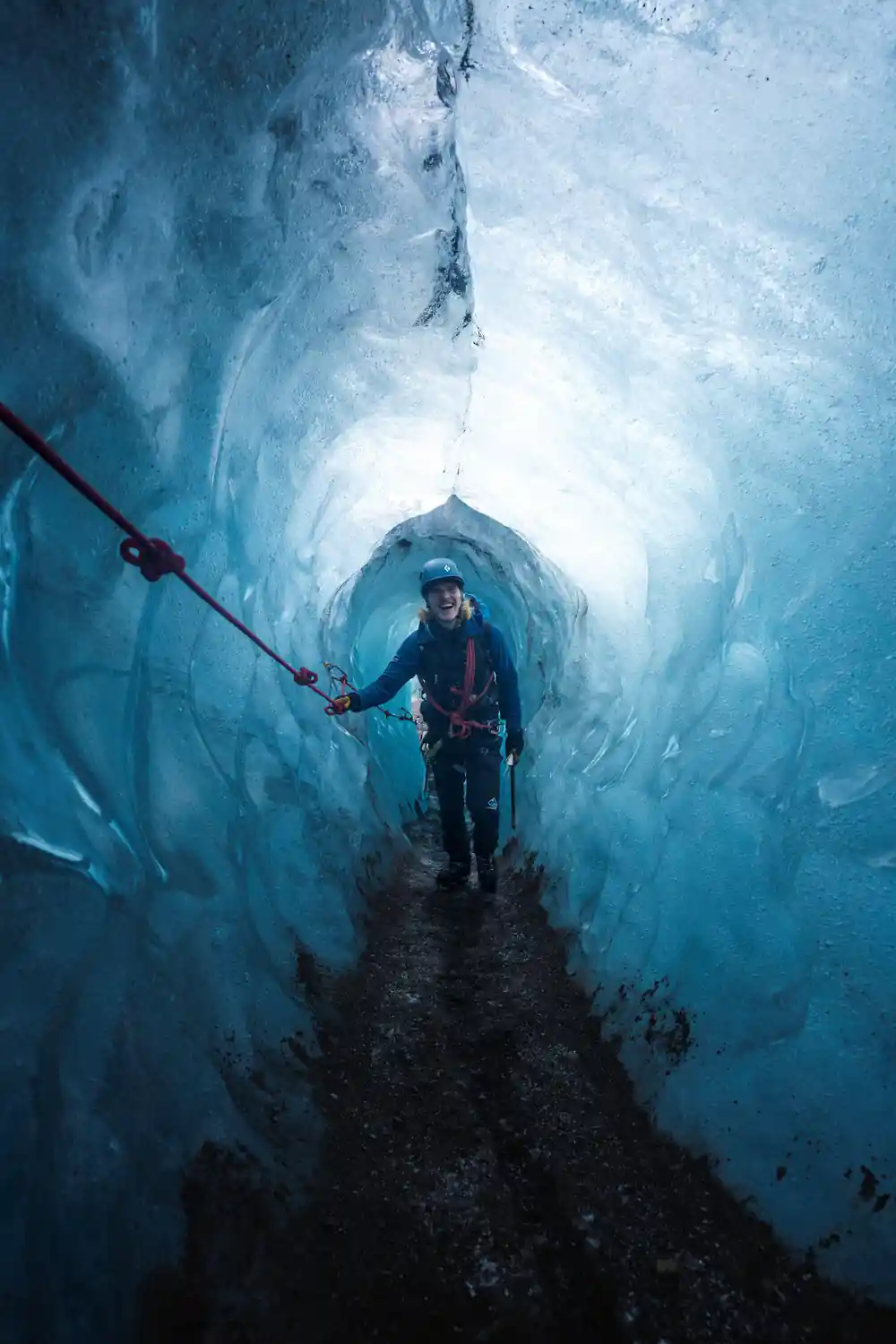
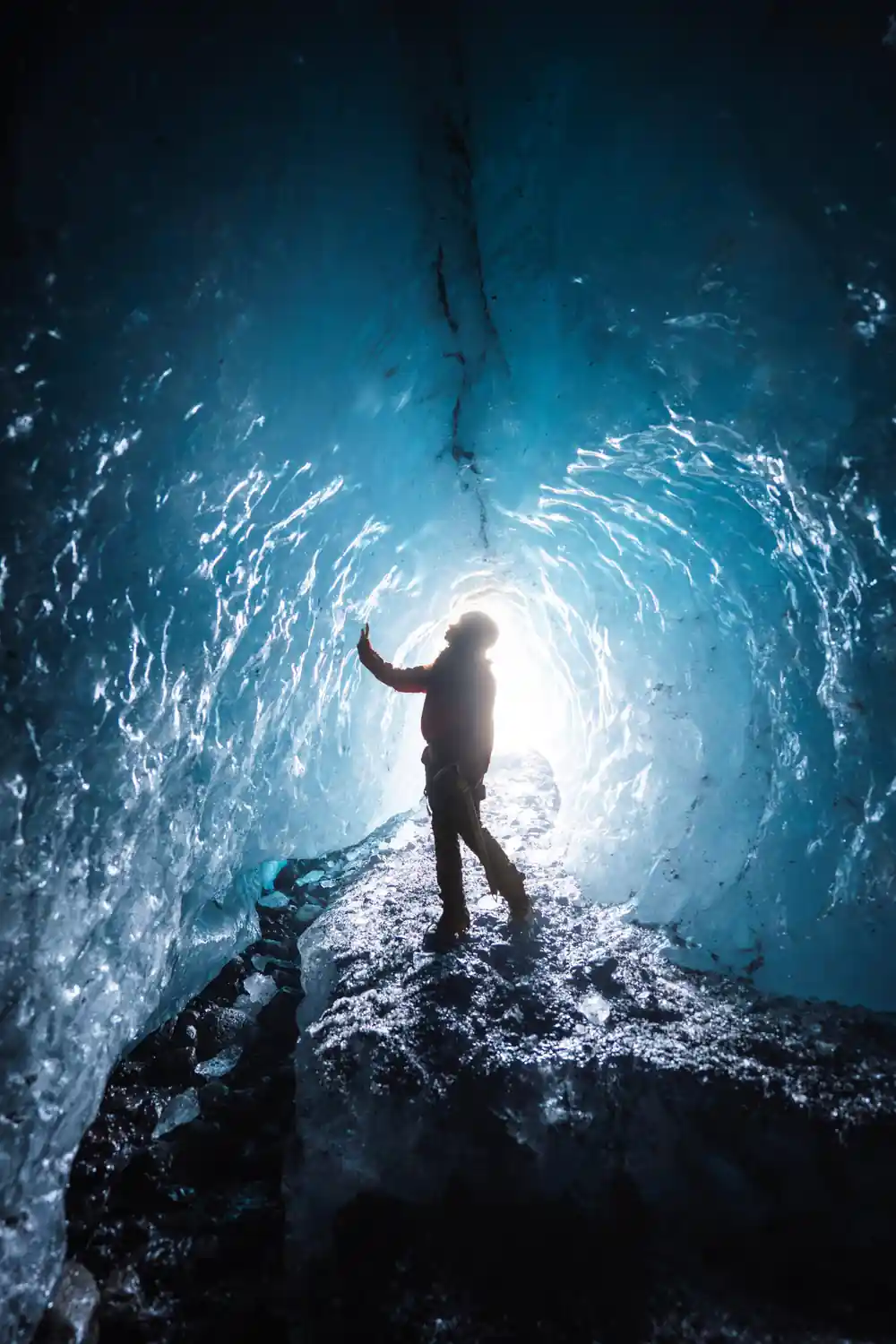
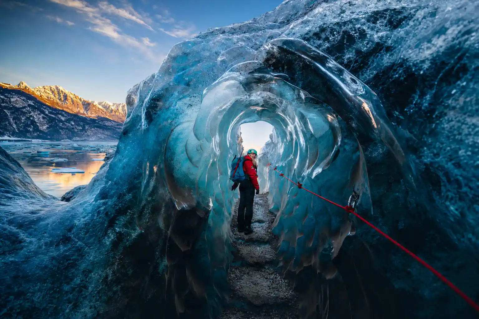
Blue ice inside a Falljökull cave, lit by daylight through the entrance
Ice that moves: flow and crevasse fields
A glacier is a river that never quite reaches the sea. Snow piles up on the high plateaux of Vatnajökull, compresses under its own weight, and turns into glacier ice that is dense enough to have most of its air squeezed out and thick enough to flow. Gravity pulls it downhill, and Falljökull is one of the channels it takes. The ice creeps rather than rushes, but the whole surface is in motion while you stand on it, and the cracks you step over were not there last season and may be gone next spring. That slow movement is what makes a guided route worth following: the surface is never quite the same twice.
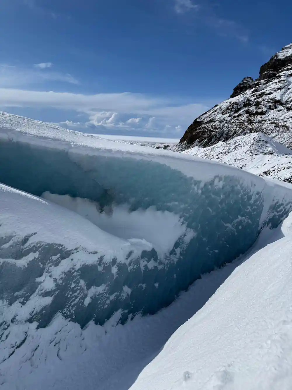
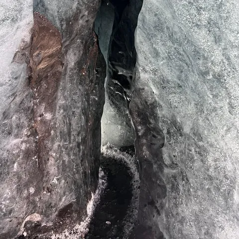
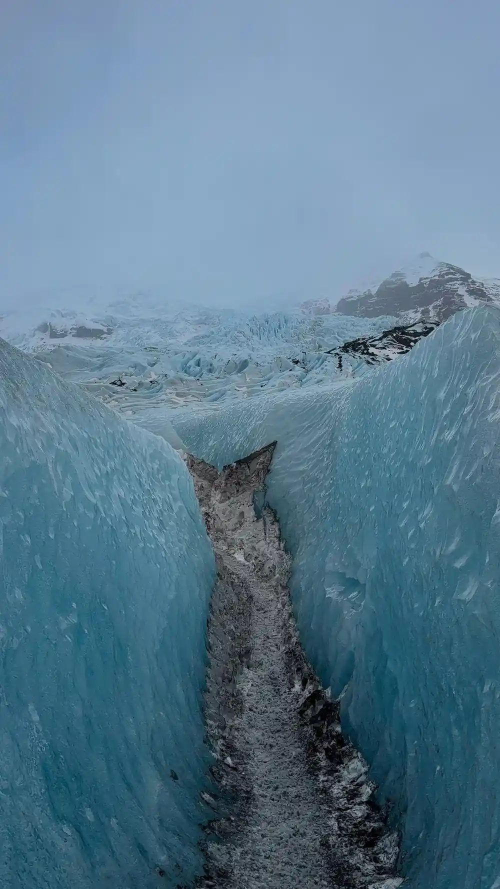
Where the bed steepens, the flow speeds up and the ice has to stretch. Stretching ice cracks, so crevasses open across the glacier in bands, wide at the surface and narrowing with depth. On Falljökull those bands shift through the year as melt thins the surface and winter snow fills the gaps, which is one reason a guide is worth having: a route that was safe in spring can be bridged by snow or opened up by melt by the time you arrive. Crossing this kind of ground safely is a matter of reading the snow and the slope above you, not of luck.
Seracs and the architecture of an icefall
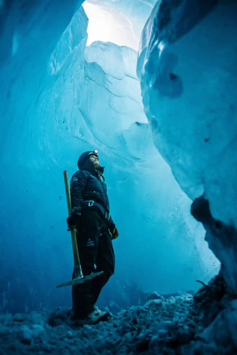
On the steepest steps the glacier breaks into seracs, the blocks and towers that stand above the slope like broken teeth. They lean, topple and are replaced, and the gaps between them open into blue depths that photographs flatten out. The blue comes from the ice itself. Dense glacier ice has had most of its air squeezed away, and light travelling through it loses the red end of the spectrum first, so what reaches your eye is blue. The deeper and denser the ice, the stronger the colour. Old ice, formed far down in the cap and pushed out at the surface, is usually the most vivid of all.
Walking among seracs is a strange, quiet business. The ice is hard and glassy underfoot, streaked with grey bands of volcanic ash and dust laid down by old eruptions and windy summers, and carved into runnels where meltwater has run. Falljökull's surface changes shape as the melt season goes on, with new channels opening along the lines where water has been draining all summer and old ones closing over. Guides pick their way through these blocks rather than over them, using the flatter ice between the towers.
from US$167
A four hour small group ice cave and glacier hike from Skaftafell, guided in English, with free cancellation up to 24 hours in advance.[4]
Ice thickness, volcanoes and meltwater under the ice
Vatnajökull's ice cap averages about 380 metres thick, and in places it is almost a kilometre deep.[5] Under that weight the base of the glacier is pressed into the bedrock, and much of the ground beneath it lies below sea level. Three of the best known subglacial volcanoes under the ice are Grímsvötn, Öraefajökull and Bardarbunga.[13] Heat from that volcanic ground melts ice from below, which is how meltwater rivers and, occasionally, outburst floods begin far out of sight of any road. What reaches the surface above Falljökull is the cool, well-behaved top of a system that is far more restless underneath.
Above the ice, Iceland's highest peak, Hvannadalshnúkur, stands 2110 m (6900 ft) high.[14] Between the mountains and the coast, meltwater from Falljökull and its neighbours gathers into streams that cut across the outwash plains, carrying fine grey sediment towards the sea. Near the glacier edge you can often see and hear the water running out from under the ice, milky with rock flour and cold enough to numb a hand in seconds. The braided rivers along the Ring Road here are the same water, further along its journey.
Retreat since 2000 and the ground it leaves behind
Falljökull and its neighbours are shrinking. After 1890, most glaciers in Iceland began to retreat, and since the year 2000 the outlet glaciers have retreated exceptionally fast, with their mass loss among the highest recorded in the world.[15] The evidence is easy to read on the ground: bare moraine, smoothed rock and loose gravel where ice stood recently, and trimlines on the valley walls showing how high the glacier used to reach. Guides point these out on the way up, and the walk from the road to the ice edge tells the same story.
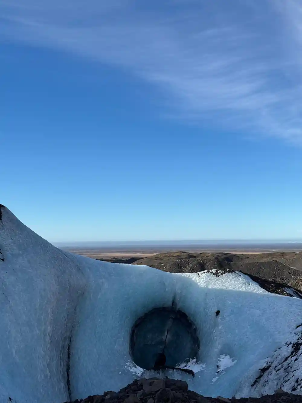
For a visitor, this changes the walk rather than cancelling it. Guides follow the ice edge as it pulls back, and the ground between the road and the glacier grows longer and rougher over the years. The reward is fresh ice: a retreating glacier exposes surfaces that have not seen daylight for a very long time, and it leaves new ground where the winter's caves can form. Ice cave visits belong to the cold half of the year, because the caves in Vatnajökull are only accessible during winter months, from November and usually throughout March, depending on the weather.[3]
Crevasses, seasons and planning your Falljökull hike
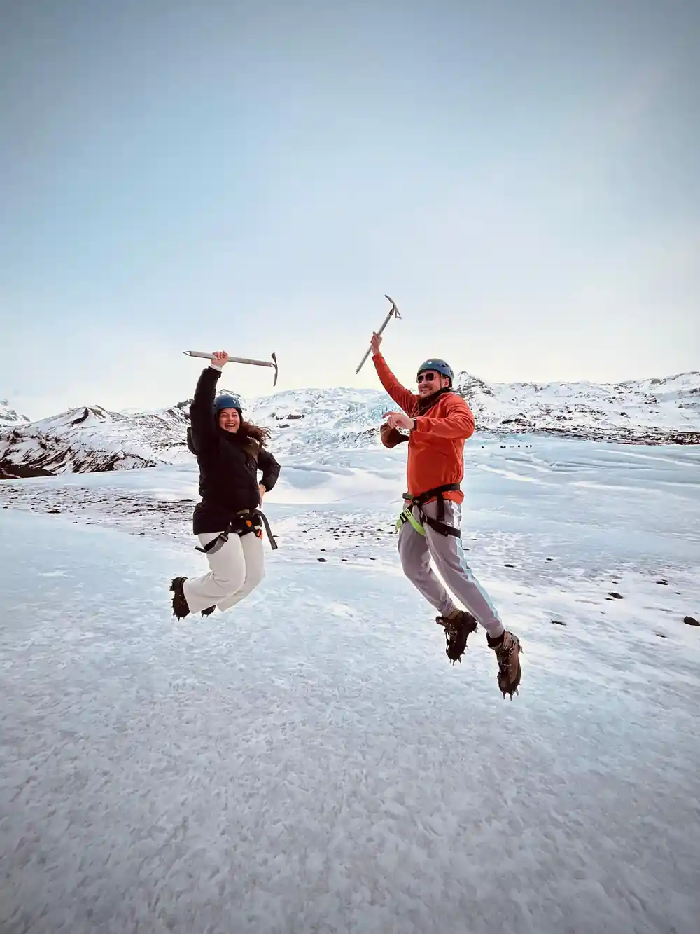
The tour booked from this site is Skaftafell: Blue Ice Cave & Glacier Hike on Vatnajökull, four hours long, limited to 12 participants, with a live guide in English, from US$167.[4] Its listed stops run from the coach to Vatnajökull and Falljökull and back again, so you do not need your own transport once you are at the meeting point. You can reserve now and pay later, and free cancellation is available up to 24 hours in advance for a full refund.[4] Starting times are shown when you check availability, and the meeting point is at Skaftafell.
Plan for weather and for walking. This is time outdoors on ice and snow at the end of a long drive, so waterproof boots, warm layers, gloves and a hat earn their place in your bag, and a spare pair of dry gloves is a small luxury. Mountain Guides lists a minimum age of 8 years old for its easy glacier hikes, the Glacier Discovery on Sólheimajökull and the Blue Ice Experience on Skaftafell, while more difficult glacier walks may have a higher minimum age.[16] If you have an extra day, the Jökulsárlón amphibian boat tour lasts 30-40 minutes.[17]
From-prices for glacier and ice cave tours around Skaftafell and Jökulsárlón
Every bar is the from-price of a GetYourGuide listing:[6] US$106,[4] US$167,[7] US$162,[18] US$164.
What a day on the ice costs
From-prices in US dollars for these GetYourGuide listings:[4][6][7][18]
When the ice caves and the visitor centre are open
Plan your Falljökull day
Choose your season
Ice caves in Vatnajökull are accessible from November and usually throughout March, depending on the weather.[3]
Pick the right tour
The booked option is Skaftafell: Blue Ice Cave & Glacier Hike on Vatnajökull, four hours long, from US$167.[4]
Get to Skaftafell
Skaftafell is about 327 km (203 miles) from Reykjavík via Route 1, a drive of approximately 4.5 hours.[2]
Park and check in
Parking at Skaftafell is 1,110 ISK for a passenger car with 5 or fewer seats; the visitor centre opens 9-19 in June-August.[9][10]
Add a lagoon stop
The Jökulsárlón amphibian boat tour lasts 30-40 minutes, and the lagoon is 35.4 miles (57 km) from Skaftafell.[8][17]
Walk on Falljökull and step inside a blue ice cave
from US$167Reserve now & pay later