If you read nothing else
- Öræfi has long been translated as wasteland, a word for a district of ash, gravel and thin grass below the largest glacier in Iceland and Europe[1].
- Eruptions under Öræfajökull buried the farms of the district, and grassy mounds and lines of stone in the moss are what remains of them today.
- The turf buildings show how a farm was made from stone, earth and grass; Skaftafellsstofa Visitor Centre opens 10-17 in January and February[2].
- Skaftafell is about 327 km (203 miles) from Reykjavík by car via Route 1, a drive that takes approximately 4.5 hours[3].
- The booked ice cave hike runs 4 hours in a group limited to 12 participants, from US$167, rated 4.62 from 848 reviews[4].
- Top choice Blue Ice Cave and Hike from US$167 Duration4 hours[4]Rating4.62 from 848 reviews[4]GuideLive guide in English[4]CancellationFree up to 24 hours before[4] Check availability
- Blue Ice Glacier Hike from US$106 Duration4 hours[5]Rating4.71 from 1,357 reviews[5]GuideLive guide in English[5]CancellationFree up to 24 hours before[5] See this tour
- Jökulsárlón Ice Cave Tour from US$164 Duration3 hours[6]Rating4.25 from 2,171 reviews[6]GuideLive guide in English[6]CancellationFree up to 24 hours before[6] See this tour
On the 5th of July 2019 Vatnajökull National Park was inscribed on UNESCO’s list of World Heritage Sites.
Why the ice cave hike fits Öræfi's story
Prepare for the day
Öræfi: Iceland's Wasteland Name
Öræfi is the name of the district that lies along the southern edge of Vatnajökull, and it has long been translated as wasteland, a word given by people who knew how hard the ground is to farm. The ice above it is on a scale that is difficult to hold in your head. Vatnajökull has a surface area of approximately 8,100 square kilometers (3,127 square miles) and is the largest glacier in both Iceland and Europe[1]. The national park that takes the glacier's name was inscribed on UNESCO's list of World Heritage Sites on 5 July 2019[10], putting ice, black sand, river plains and old farm ruins on one world list together.
On a map the district looks empty. On the ground it is a chain of small places: a church at Hof, the turf walls at Skaftafell, the visitor centre, a few farm buildings, and long stretches of gravel and moss between them. People have lived here in small numbers for a very long time, grazing sheep on the slopes and reading the glacier the way a fisherman reads the sea. That is the story this coast tells, and it is about distance and weather as much as about dates.
The Farms Buried Under Ash and Ice
Öræfajökull rises straight out of the coastal plain, an ice-capped mountain whose name joins the district to the word for glacier. It is not the only volcano in the neighbourhood. The three most famous subglacial volcanoes under Vatnajökull are Grímsvötn, Öraefajökull and Bardarbunga[11], and the ice hides the heat and the plumbing of all of them. On the rim of Öræfajökull stands Hvannadalshnúkur, the highest peak in Iceland at 2110 m / 6900 ft[12], the white point that people on the sand plain look for when the cloud lifts.
Fire under ice is the old danger of this district. An eruption of Öræfajökull sent floods and ash across the farms below, and the settlement that had grown up here was lost. What remains is quiet: grassy mounds, lines of stone in the moss, and place names for farms that no longer stand. Walking the trails around Skaftafell you pass those ruins without necessarily noticing them, and the information boards near the visitor centre are worth a few minutes.
Turf, ash and blue ice: three layers of Öræfi's story in one view
Skaftafell's Turf Farm That Endured
Skaftafell was a farm, not a village, and the buildings the park looks after today show how people built where timber was scarce and turf was not. Thick walls of stone and earth, a roof of living grass, a timber gable facing the light: a turf house is warmer than visitors expect, and it is made almost entirely from what the ground provides. The farm worked the thin grass between the glacier rivers and the mountain, and it kept sheep and cut hay in whatever dry days the summer offered.
Some of those buildings have been rebuilt and can be visited, and the site is the natural first stop before any walk. Skaftafellsstofa Visitor Centre opens 10-17 in January and February, 9-17 in March to May, 9-19 in June to August, 9-18 in September and October, 9-17 in November and 10-17 in December[2]. Rangers there can tell you which trails are open and what the weather is doing higher up, which matters more on this coast than in most places.
Crossing Glacial Rivers Before Bridges
Until the road was pushed through, reaching this district meant fording rivers that shift their beds every spring and waiting for the water to drop. The old routes followed the sand and crossed where the current ran shallowest, and travellers depended on local knowledge of where that was. Today the Ring Road does the work. Skaftafell is about 327 km (203 miles) from Reykjavík by car via Route 1, a drive that takes approximately 4.5 hours[3]. The direct drive from Skaftafell to Jökulsárlón is 35.4 miles (57 km) and takes about 50 minutes in normal traffic[13].
If you arrive by car, parking at Skaftafell is subject to a regional fee, with a passenger car of 5 or fewer seats charged 1,110 ISK[9]. Fuel up where you can, because the gaps between villages are long, and check road and weather conditions before setting out in winter. Wind on the sand plain is the thing that catches people out: it can take a car door out of your hand and turn a fine day into a hard one.
from US$167
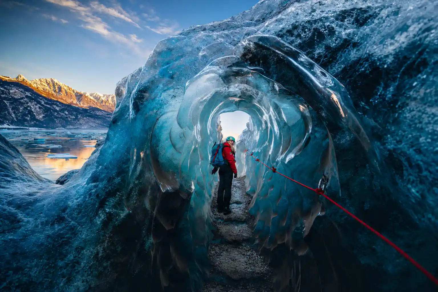
The booked tour, the Blue Ice Cave & Glacier Hike on Vatnajökull, runs 4 hours in a group limited to 12 people[4].
Folklore of the Ice and What Lived Inside
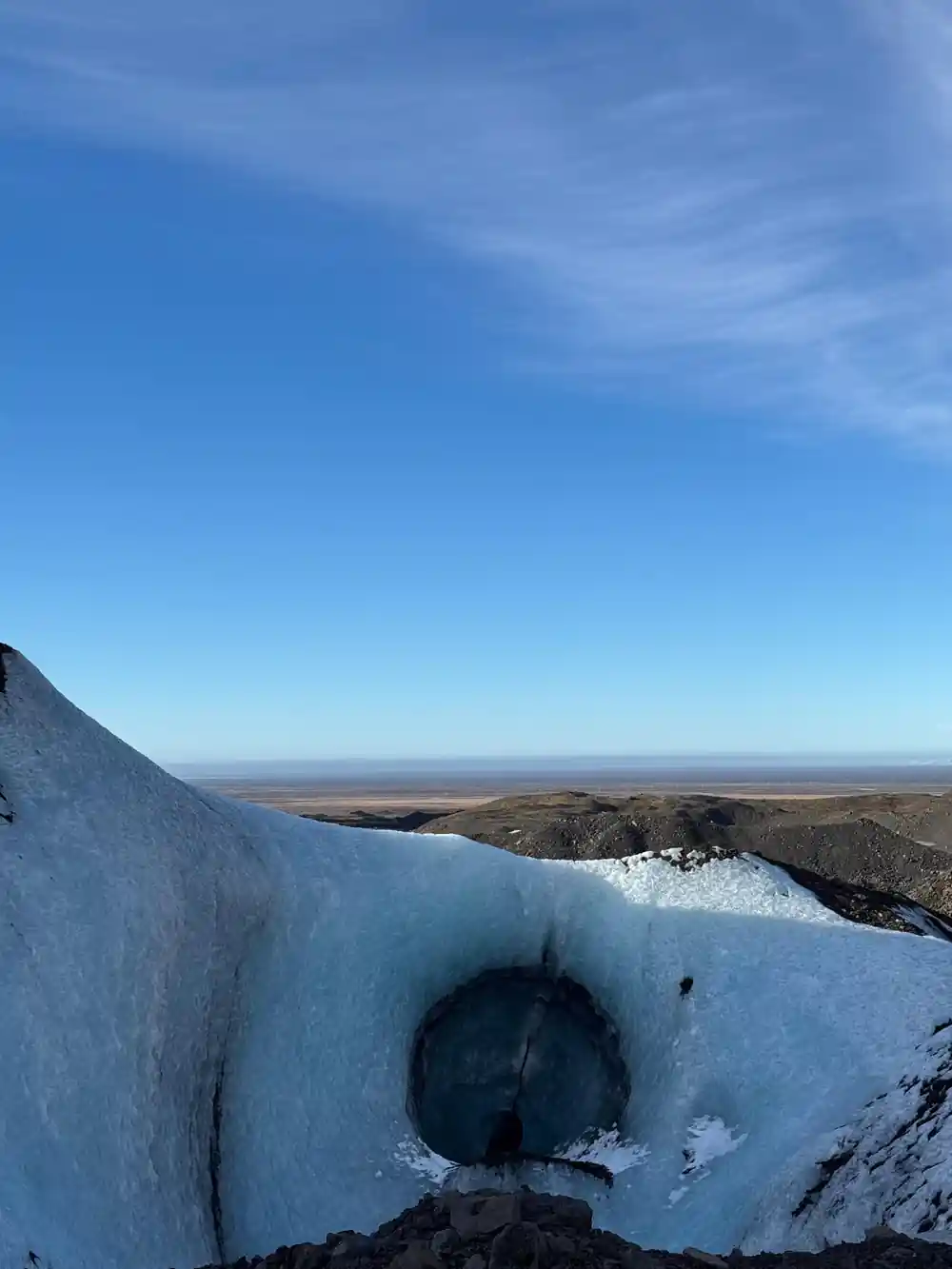
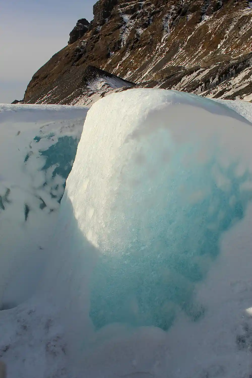
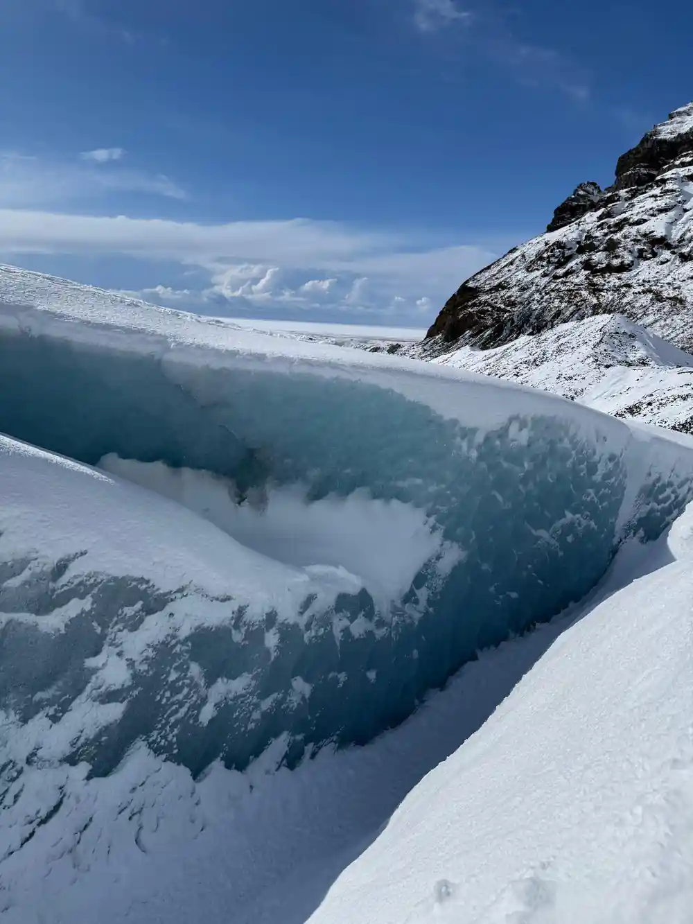
Glaciers have always been places where stories gather. In Icelandic tradition the high ice and the deep crevasses belong to hidden people and trolls, and the cracks and booms of a moving glacier are the sounds that fed those tales. The ice itself is not still. Vatnajökull's ice cap averages about 380 metres thick, and in places it is almost a kilometre deep[14], and under that weight the glacier creeps down the valleys, grinding rock and opening the blue tunnels that visitors come to see. A cave that is here in one winter can be gone by the next.
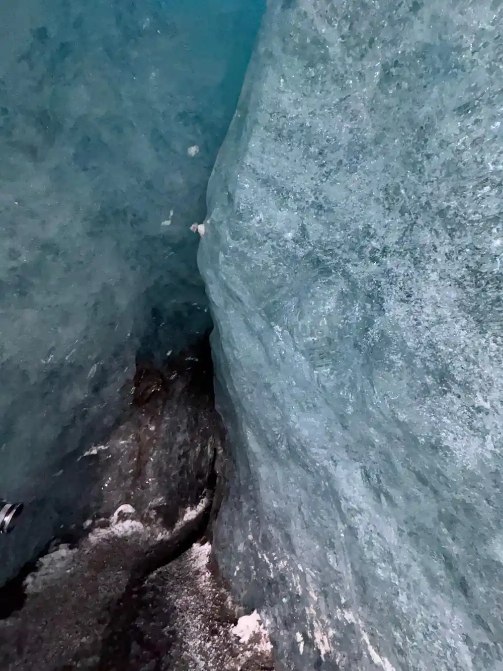
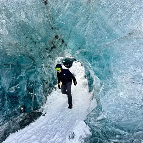
The ice caves in Vatnajökull are only accessible during the winter months, from November and usually throughout March, depending on the weather[7]. That narrow window is part of what makes them special, and it is also why the people who work in them are so careful. Ice caves form and change with meltwater and cold snaps, the roof can thin, and the light inside shifts through the day. Guides read those signs constantly, which is why a cave visit is a guided trip rather than a wander.
The Birth of Icelandic Glacier Guiding
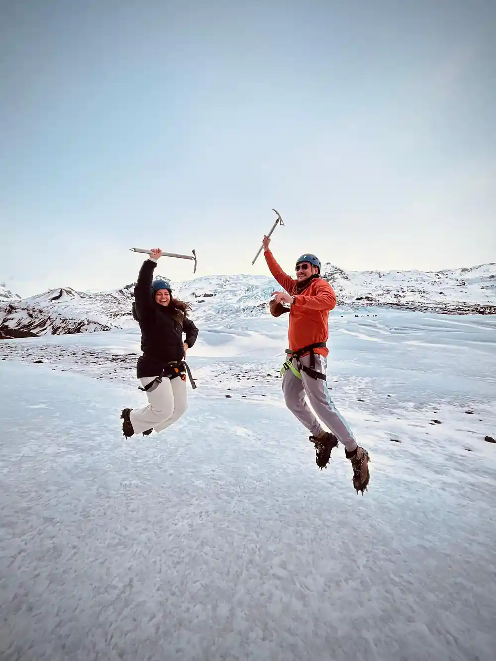
Glacier guiding in Iceland grew out of farming families who already knew the ice. They had crossed the rivers, tested the snow bridges and taken sheep up the summer pastures, and when travellers began asking to walk on the glacier, that knowledge turned into a trade: crampons, an ice axe, a rope, and a route chosen for the group in front of you. Iceland's glacier guides today train to a national standard and work on ice that is changing faster than the people who taught them ever saw. Since the year 2000, Icelandic outlet glaciers have retreated exceptionally fast, and their mass loss is among the highest recorded in the world[15].
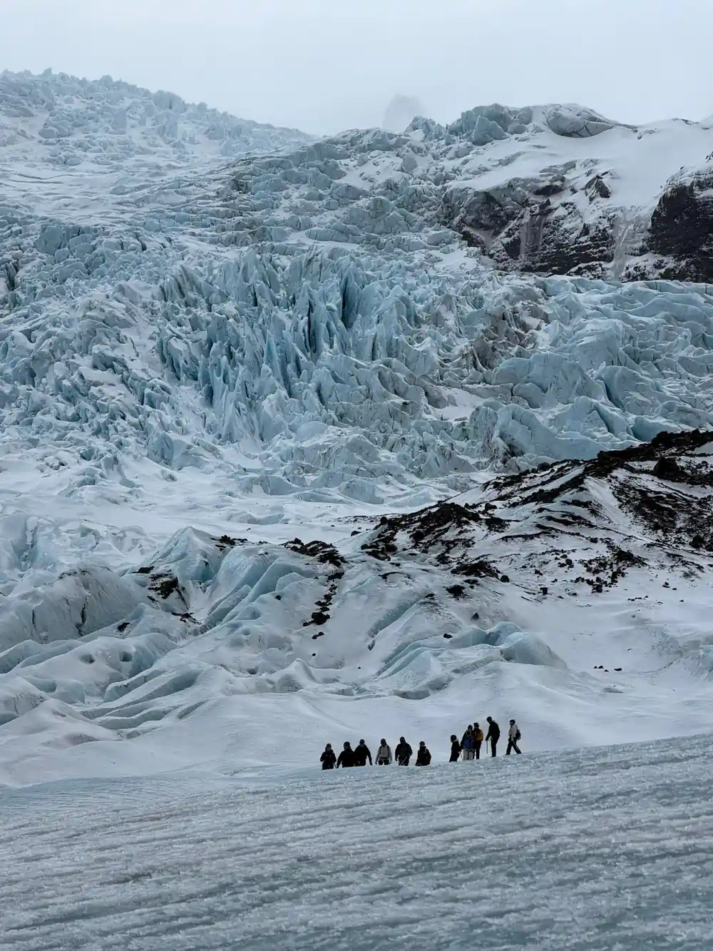
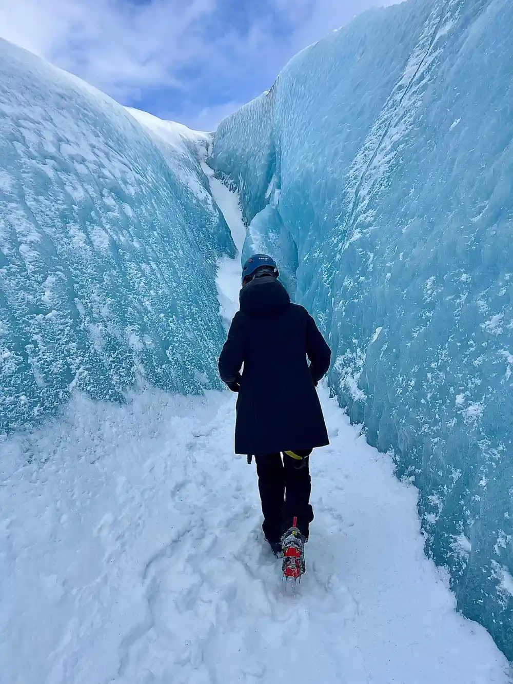
The tour booked from this site is a fair picture of how that work looks. Skaftafell: Blue Ice Cave & Glacier Hike on Vatnajökull starts from US$167, is rated 4.62 from 848 reviews, runs 4 hours with a live tour guide in English and is limited to 12 participants[4]. It travels by bus or coach to Vatnajökull and Falljökull and back[4], and you can reserve now and pay later, with free cancellation up to 24 hours in advance for a full refund[4]. On easy glacier hikes of this kind, the minimum age requirement is 8 years old[8].
Film Crews and the Glaciers as Landscape
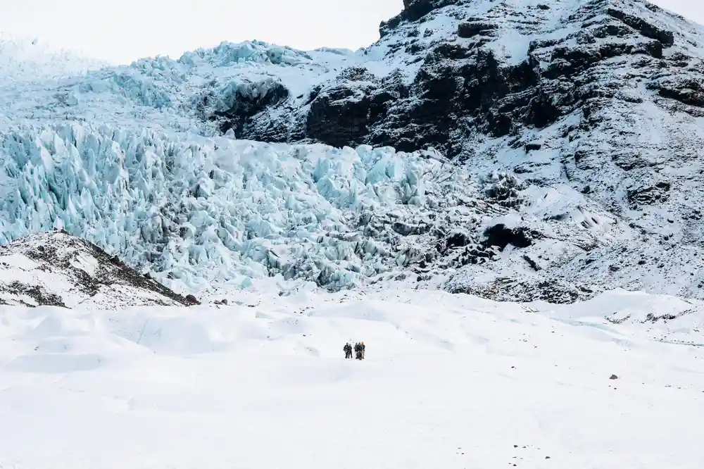
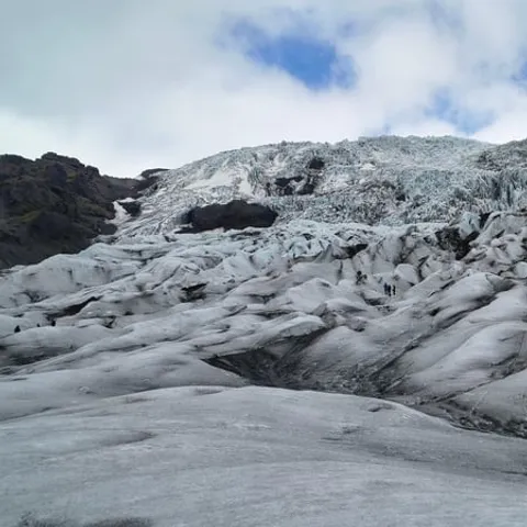
When a film needs another planet, a frozen moon or a plain of bare ice, crews come to this coast. The outlet glaciers below Vatnajökull, the black sand and the lagoon full of stranded icebergs have stood in for alien landscapes in big productions, and the reason is easy to see on the ground: the scale and the emptiness do most of the work. Falljökull Glacier is a striking outlet glacier of the vast Vatnajökull ice cap[16], and its white tongue, striped with dark moraine, drops towards the sand plain below.
Visitors come for the same scenery the cameras want, and the district has the stops to match. On Jökulsárlón the amphibian boat tour lasts 30-40 minutes[17] and takes you between the bergs. Travellers who come outside winter can still get inside ice: the Katla Ice Cave in Mýrdalsjökull Glacier, formed by the volcanic glacier that sits above the Katla volcano, is one of the few ice caves in Iceland that can be visited year-round[18]. Near Skaftafell, Fosshotel Glacier Lagoon is a four-star superior hotel with 125 rooms[19], handy if you would rather not drive back in the dark.
Ice cave and glacier tour durations compared
From-prices for Skaftafell and Jökulsárlón ice tours
When to book and when to go
Plan your Öræfi visit
Drive out east
Skaftafell is about 327 km (203 miles) from Reykjavík via Route 1, a drive of approximately 4.5 hours[3].
Stop at the visitor centre
Skaftafellsstofa has rangers, exhibitions and toilets, with hours that change month by month[2].
Pick a winter date
Ice caves in Vatnajökull are only accessible from November and usually throughout March[7].
Book the small group hike
The booked tour is limited to 12 participants and runs 4 hours with a live guide in English[4].
Pay the parking fee
A passenger car of 5 seats or fewer pays 1,110 ISK at Skaftafell[9].
Walk onto Vatnajökull and into the blue ice
from US$167Reserve now & pay later