If you read nothing else
- Vatnajökull has a surface area of approximately 8,100 square kilometres (3,127 square miles), and it is the largest glacier in both Iceland and Europe.[1]
- The ice averages about 380 metres thick, and in places it is almost a kilometre deep.[2]
- The three most famous subglacial volcanoes under Vatnajökull are Grímsvötn, Öraefajökull and Bardarbunga.[3]
- The ice caves in Vatnajökull are only accessible during winter months, from November and usually throughout March, depending on the weather.[4]
- Vatnajökull National Park was inscribed on UNESCO's list of World Heritage Sites on 5 July 2019.[5]
- Top choice Ice Cave & Glacier Hike from US$167 Duration4 hours[6]Rating4.62 from 848 reviews[6]GuideLive tour guide: English[6]CancellationFree cancellation up to 24 hours[6] Check availability
- Skaftafell Ice Cave Tour from US$162 Duration4 hours[7]Rating4.53 from 1,962 reviews[7]GuideLive tour guide: English[7]CancellationFree cancellation up to 24 hours[7] See this tour
- Blue Ice Glacier Hike from US$106 Duration4 hours[8]Rating4.71 from 1,357 reviews[8]GuideLive tour guide: English[8]CancellationFree cancellation up to 24 hours[8] See this tour
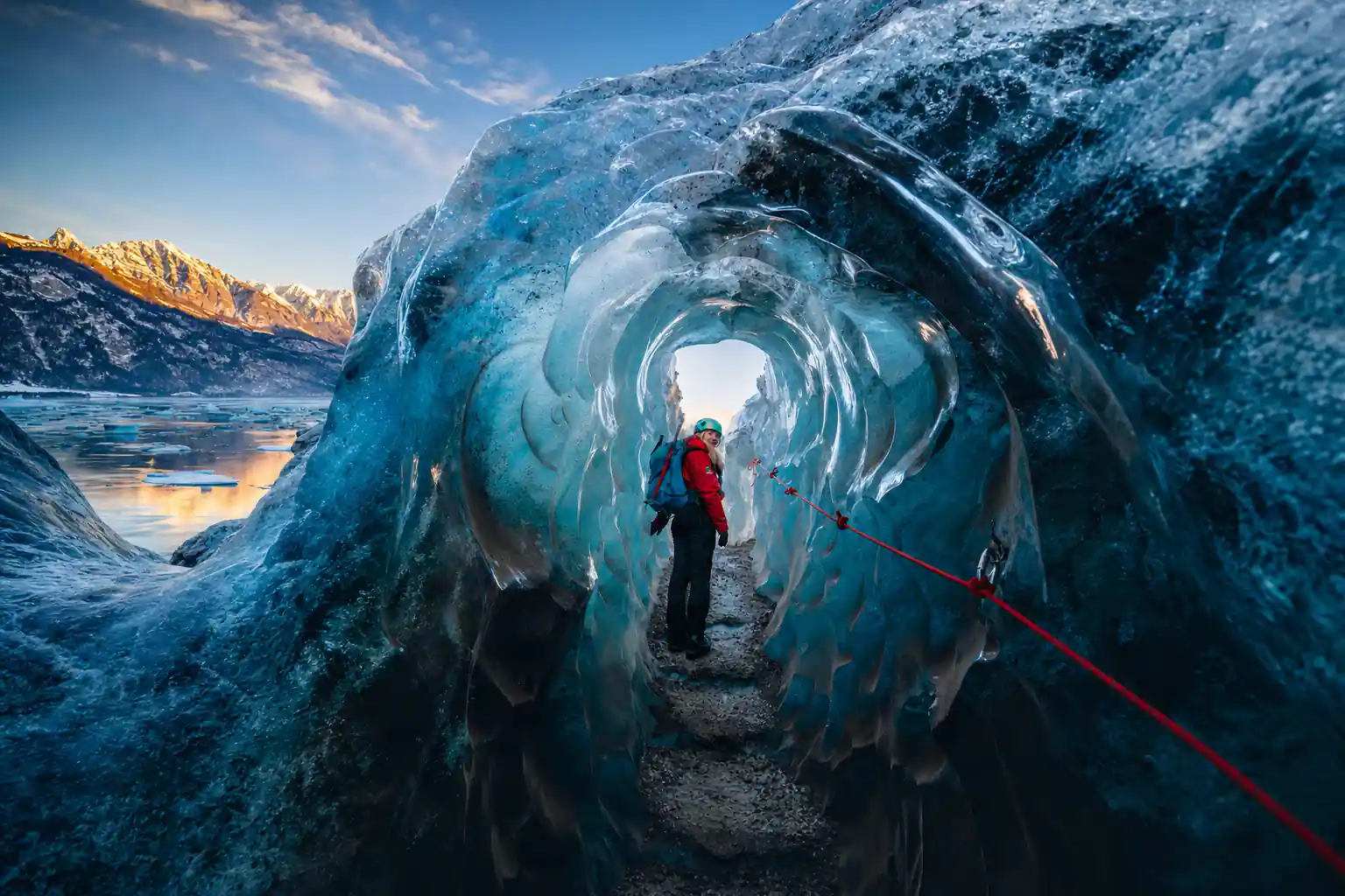
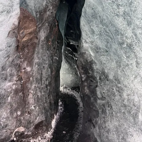
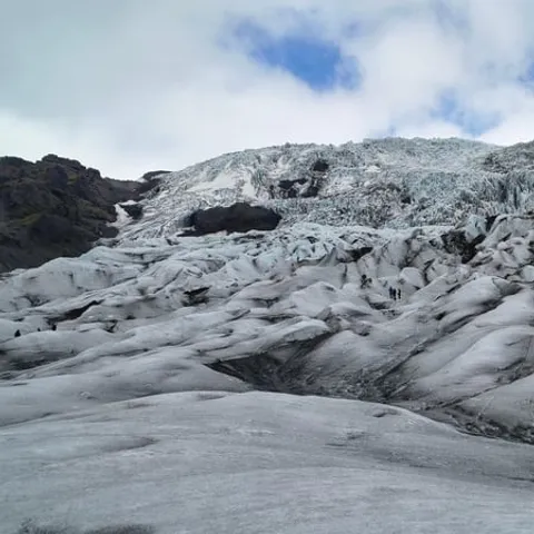
After 1890, most glaciers began to retreat and since the year 2000 the outlet glaciers have retreated exceptionally fast, and their mass loss is among the highest recorded in the world.
Is the Skaftafell ice cave and glacier hike worth it?
Know this first
- Book the ice cave slot before you leave home
- Leave a full day for the drive and the walk
- Budget for the regional parking fee at Skaftafell
- Small groups keep a glacier walk comfortable
On the day
- Stay with the guide and follow the safety briefing
- Wear layers, the ice is colder than the car park
- Bring sunglasses and sunscreen for snow glare
- Sturdy boots with ankle support work best on crampons
How Big Is Vatnajökull Glacier?
Vatnajökull has a surface area of approximately 8,100 square kilometres (3,127 square miles), and it is the largest glacier in both Iceland and Europe.[1] Along the south coast it reads as a white horizon that never quite leaves the windscreen, with outlet glaciers spilling down towards the ring road between flat farmland and black sand.
The ice is deep as well as wide. It averages about 380 metres thick, and in places it is almost a kilometre deep.[2] Under that weight the ice creeps downhill, cracking where the slope steepens into crevasses and icefalls, and grinding the rock beneath into the fine grey silt that colours every glacial river in the country.
The ice cap is far too large to see in a day from Reykjavík. A night or two near Skaftafell or Jökulsárlón turns a long drive into a proper visit, and leaves room for a guided walk on one outlet glacier instead of a quick photo stop at the edge of the ice. Choose one glacier, one lagoon and one waterfall, and let the rest of the white dome stay a mystery on the horizon.
Volcanoes Hidden Beneath the Ice
Some of Iceland's best known volcanoes sit under the ice rather than beside it. The three most famous subglacial volcanoes under Vatnajökull are Grímsvötn, Öraefajökull and Bardarbunga.[3] From the road you will not see cones or craters, only wide snowfields and the occasional shallow dip where the surface has sagged. The drama is entirely underground.
A subglacial volcano is what the name suggests, a mountain with an ice cap on top. Heat from below melts the base of the ice, water gathers in spaces that stay hidden from view, and the roof above can sink into a bowl that is visible only from the air. Scientists watch those shapes closely, because a change up there is often the first sign that something below is stirring.
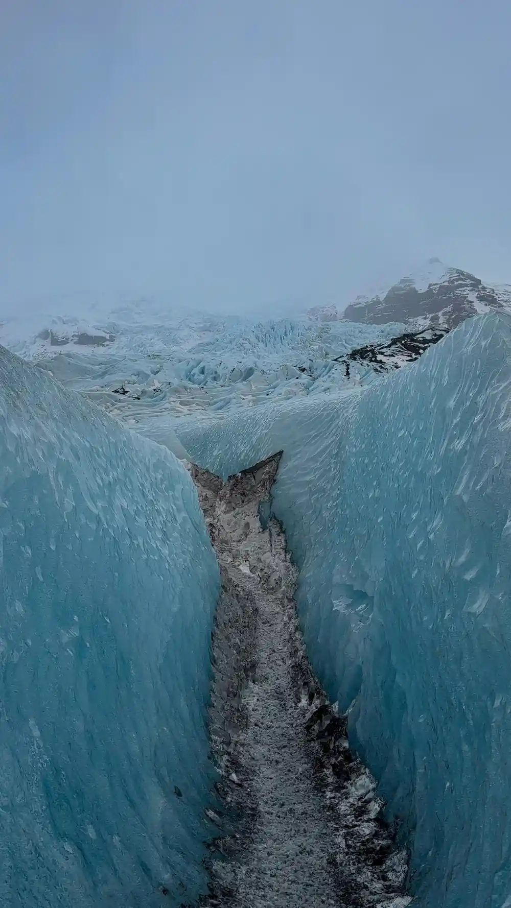
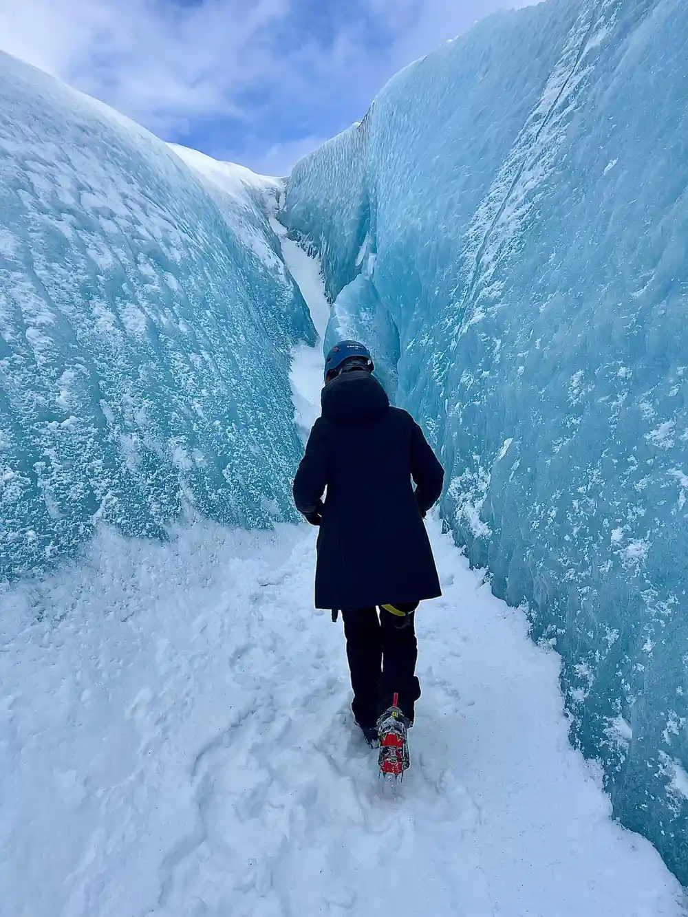
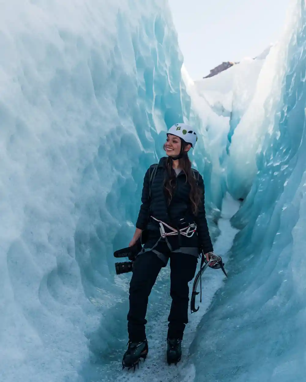
Little of that is visible from a glacier walk, and that is part of the appeal. What you notice instead is colour and texture: blue grey ice, dark bands of ash and dust, thin grey lines that look like layers in a cake, and the rubble of moraine where the ice has scraped and dropped what it carried. Guides point out the ash layers as they go, and they are a neat record of past eruptions.
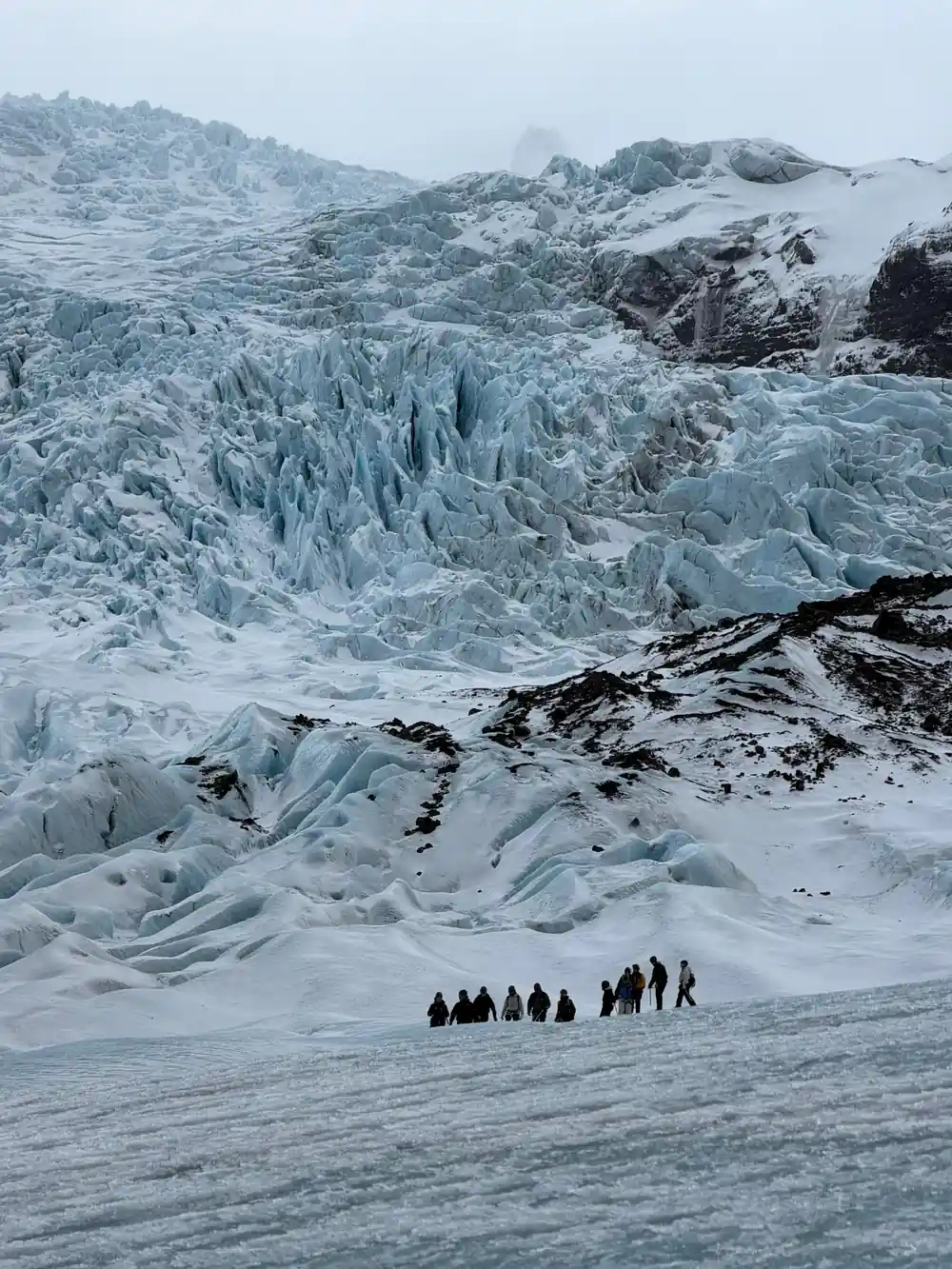
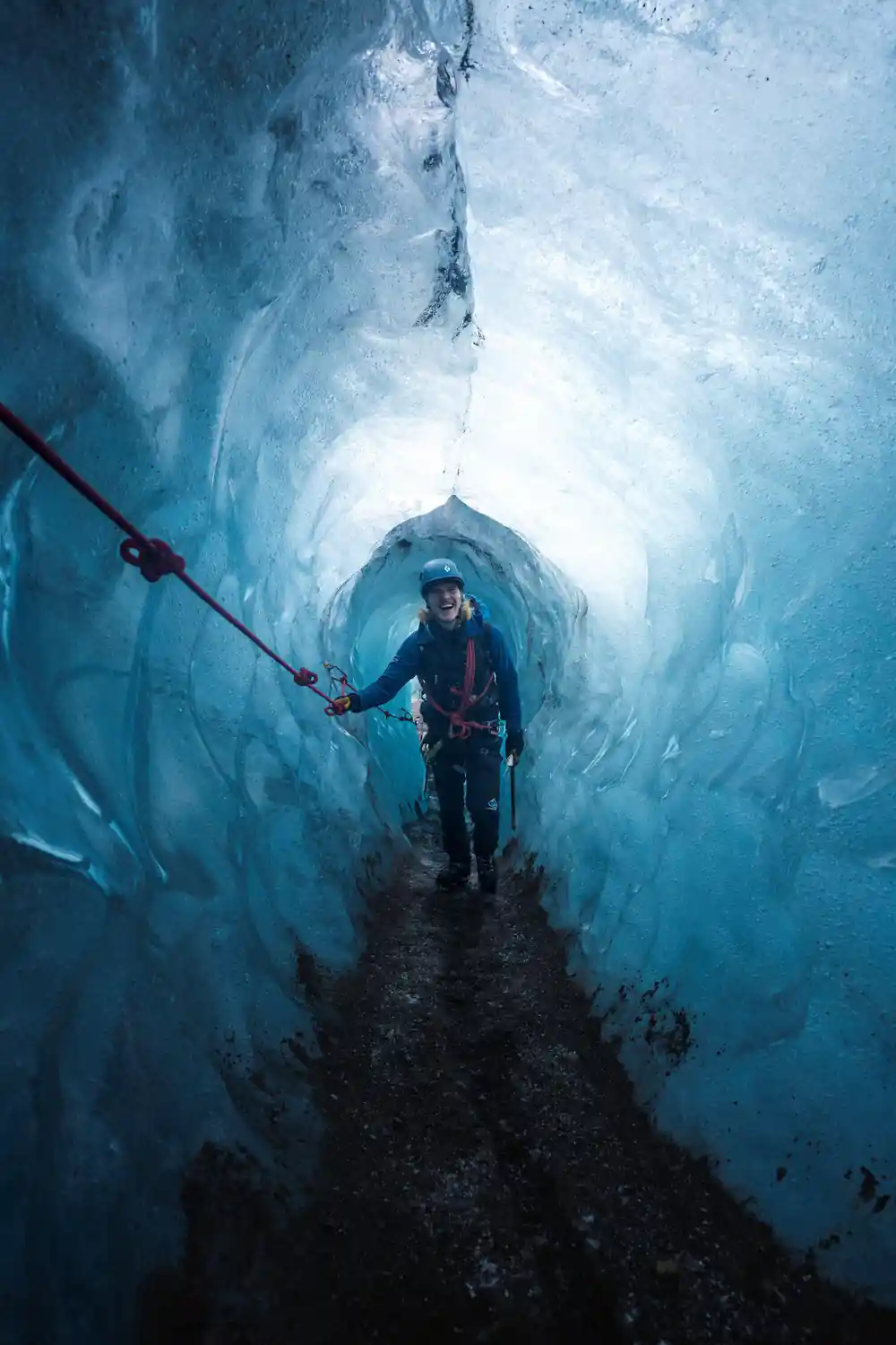
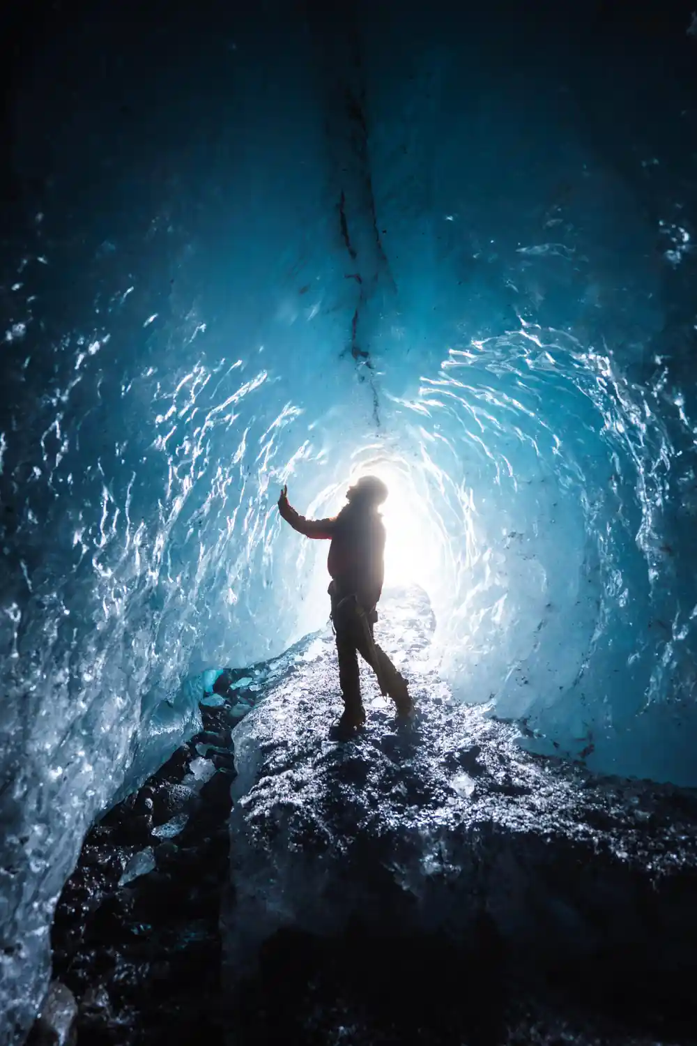
Blue ice and dark ash layers inside a cave beneath the Vatnajökull ice cap.
Jökulhlaup: When Glacial Floods Reshape the Land
Icelandic glacial rivers can change character in a matter of hours. A jökulhlaup is a glacial outburst flood: water that has gathered under or inside a glacier escapes suddenly and races downstream, carrying ice, sand and boulders with it. The word is used across the country, and these events are a normal part of life on a volcanic island.
You can see the results along the south coast, in the broad grey outwash plains known as sandur that stretch between the mountains and the sea. Bridges across those flats are long for good reason, and they are watched carefully whenever water is on the move. From the car the plains look empty and calm, which is exactly why they can be deceptive.
For anyone driving the ring road, the practical part is simple. Check road conditions and local warnings before setting out, particularly in unsettled weather, and take closures seriously. If a road or a trail is shut, plan around it rather than beside it, and give yourself the option of a slower day at Skaftafell or by the lagoon.
Falljökull: A Glacier in Motion
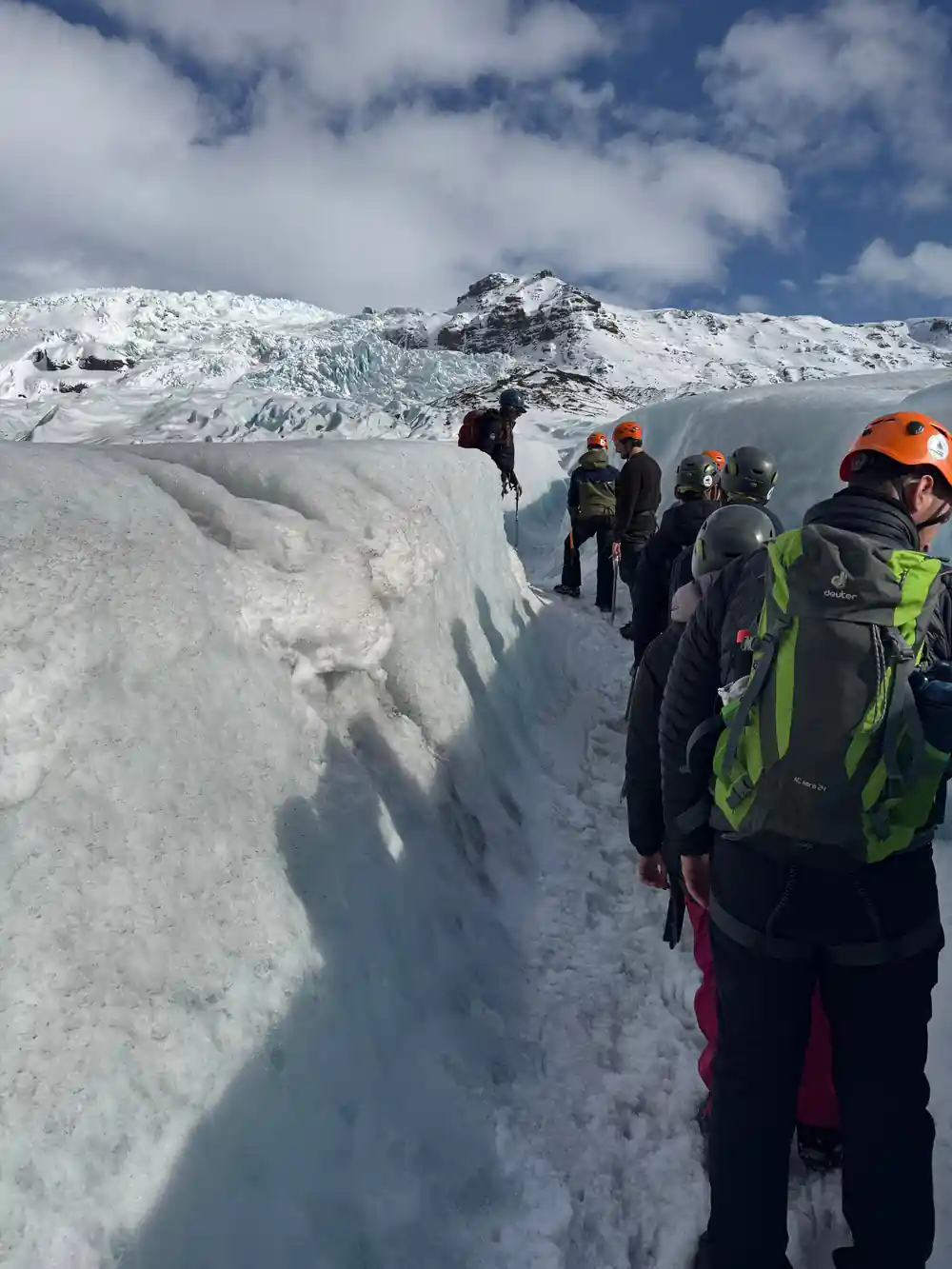
Falljökull is a striking outlet glacier of the vast Vatnajökull ice cap.[9] It is the tongue that Skaftafell glacier walks climb, and it is one of the stops listed on the Blue Ice Cave and Glacier Hike on Vatnajökull.[6] From the meeting point the icefall at its head looks close, and it is: a short transfer, then crampons on and a steady climb onto the ice.
Like other Icelandic outlet glaciers, Falljökull has been shrinking. After 1890 most glaciers began to retreat, and since the year 2000 the outlet glaciers have retreated exceptionally fast, with mass loss among the highest recorded in the world.[10] Guides who work the same tongue each season see the change in the position of crevasses and in how much bare rock shows at the margins.
The change is visible to anyone who walks the same route twice. Ice that guides crossed a few seasons ago can now be a slope of loose rock with a thin skin of white on top. The blue that people come for is real, but it belongs to dense old ice and to the light inside a cave, not to the snow on the surface.
from US$167
A small group walk from Skaftafell onto Vatnajökull, with a blue ice cave visit, a live English speaking guide and 4 hours on the ice.[6]
Life on and Around the Ice Cap
Life at the edge of the ice cap is quieter than the scale of the place suggests, but it is there. Below the glacier snouts the ground is a mix of gravel, moss and low scrub, and birds work the outwash plains and lagoons through the short summer. Seals sometimes haul out among the floating ice, and the walk from the car park to the glacier feels far wilder than the distance suggests.
Skaftafell is the green exception in this grey and white world. Sheltered by the mountains and softened by the sea, it holds stands of birch, and its trails are the easiest place to stretch your legs between long drives. The Skaftafellsstofa Visitor Centre keeps seasonal hours: 10-17 in January and February, 9-17 from March to May, 9-19 in June through August, 9-18 in September and October, 9-17 in November, and 10-17 in December.[11]
If you would rather sleep in a bed than a tent, Fosshotel Glacier Lagoon is a four-star superior hotel described as a stone's throw from Skaftafell, with 125 rooms, free parking, electric car charging points, a gym and a wellness spa.[12] Rooms here are worth booking ahead when your dates are fixed. The alternative is a guesthouse or campsite further along the coast, which adds driving to every glacier morning.
Getting to Skaftafell and onto the Ice
Skaftafell is about 327 km (203 miles) from Reykjavík by car via Route 1, a drive that takes approximately 4.5 hours.[13] That is a long day behind the wheel. Breaking the journey near Vík, or basing yourself close to the park for a night or two, makes the drive far more enjoyable and puts you at the meeting point without a dawn start.
From Skaftafell the ring road continues east, and Jökulsárlón is 35.4 miles (57 km) away, about 50 minutes in normal traffic.[14] That makes the lagoon a natural second stop on the same day as a glacier walk, with the ice on one side of the road and the sea on the other. Keep the winter plan small: one walk, one lagoon, one stop for food.
Parking at Skaftafell is subject to a regional fee, with a passenger car of 5 or fewer seats charged 1,110 ISK.[15] Children can join easy glacier hikes from a young age: the minimum is 8 years old on hikes such as the Blue Ice Experience on Skaftafell, while more difficult glacier walks may set a higher age.[16] Check the age rule before you book if you are travelling with a family.
Ice Caves, Glacier Hikes and UNESCO Recognition
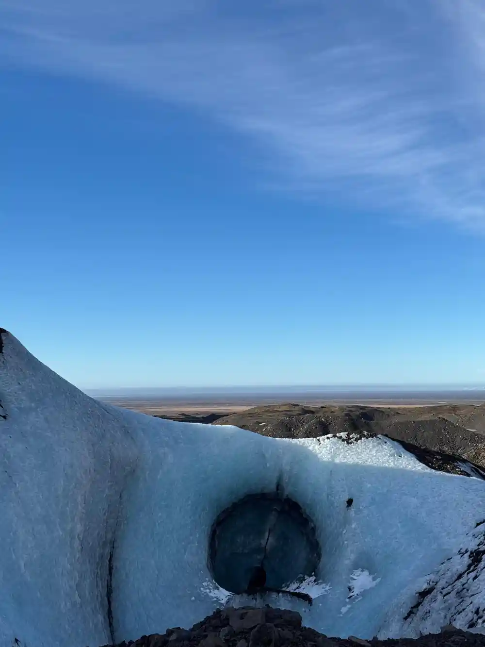
Ice caves are the reason many people plan a winter trip. The ice caves in Vatnajökull are only accessible during winter months, from November and usually throughout March, depending on the weather.[4] Caves come and go with the seasons, and the tunnel you walk through this year may not be the one visitors saw last year. That is part of what makes a winter visit feel like a small event.
The park around all this ice is protected. Vatnajökull National Park was inscribed on UNESCO's list of World Heritage Sites on 5 July 2019.[5] The listing covers a landscape that mixes the ice cap itself with outlet glaciers, black sand plains, glacial rivers and the green pocket at Skaftafell. It is a big, varied area, and the roads through it are the only sensible way to see more than a corner of it.
Not every cave is winter only, and not every day has to involve crampons. The Katla Ice Cave, in the Mýrdalsjökull Glacier, is one of the few ice caves in Iceland that can be visited year-round.[17] On Jökulsárlón, the amphibian boat tour lasts 30-40 minutes.[18] Between those two options, even a short trip can put you close to the ice.
How long the main ice cave and glacier tours last
Durations as listed on GetYourGuide for[6],[7],[19],[20] and[21].
Ice cave and glacier tour prices
US dollar from-prices on GetYourGuide:[6],[8],[20] and[21].
When to go for ice caves and glacier walks
Plan your Vatnajökull trip
Pick your base
Skaftafell is about 327 km (203 miles) from Reykjavík, a drive of approximately 4.5 hours via Route 1.[13]
Book the ice cave
Reserve now and pay later, and you can cancel up to 24 hours in advance for a full refund.[6]
Check the season
Ice caves in the outlet glaciers are accessible from November, usually through March, weather depending.[4]
Dress for it
Waterproof outer layers, gloves and sturdy boots make a day on the ice far more comfortable.
Arrive early
Parking at Skaftafell carries a regional fee of 1,110 ISK for a passenger car of 5 or fewer seats.[15]
Walk into a blue ice cave beneath the Vatnajökull ice cap
from US$167Reserve now & pay later