If you read nothing else
- Vatnajökull has a surface area of approximately 8,100 square kilometers (3,127 square miles), making it the largest glacier in Iceland and Europe.[1]
- Icelandic outlet glaciers have retreated exceptionally fast since the year 2000, and their mass loss is among the highest recorded in the world.[2]
- Ice caves in Vatnajökull are only accessible during the winter months, from November and usually throughout March, depending on the weather.[3]
- Skaftafell is about 327 km (203 miles) from Reykjavík by car via Route 1, and the drive takes approximately 4.5 hours.[4]
- The Skaftafell blue ice cave and glacier hike runs four hours from US$167, in a small group limited to 12 participants.[5]
- Top choice Ice Cave & Glacier Hike from US$167 Duration4 hours[5]Rating4.62 from 848 reviews[5]Live guideEnglish[5]CancellationFree up to 24 hours before[5] Check availability
- Ice Cave and Glacier Hike from US$162 Duration4 hours[6]Rating4.53 from 1,962 reviews[6]Live guideEnglish[6]CancellationFree up to 24 hours before[6] See this tour
- Jökulsárlón Ice Cave Tour from US$164 Duration3 hours[7]Rating4.25 from 2,171 reviews[7]Live guideEnglish[7]CancellationFree up to 24 hours before[7] See this tour
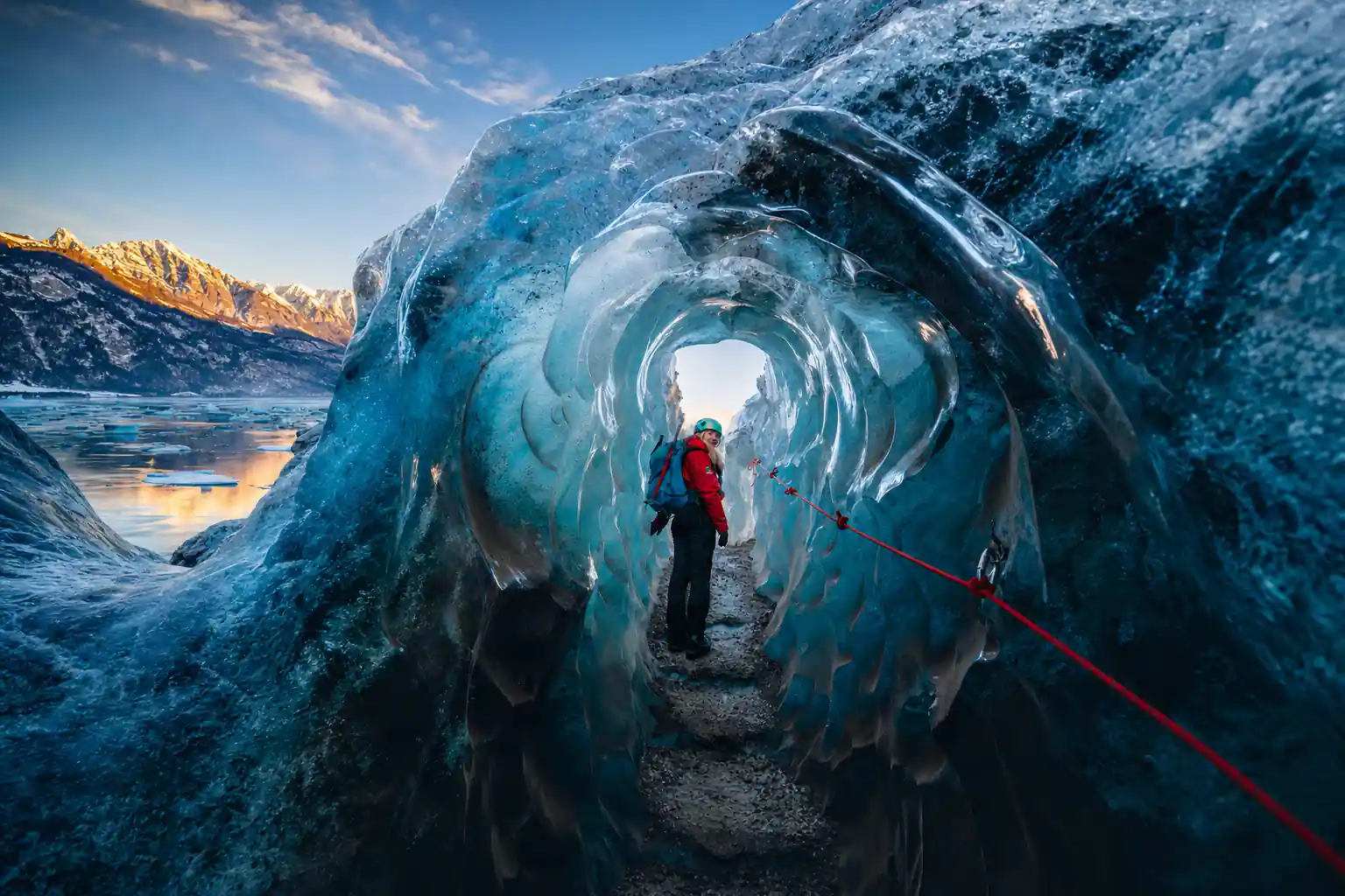
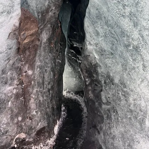
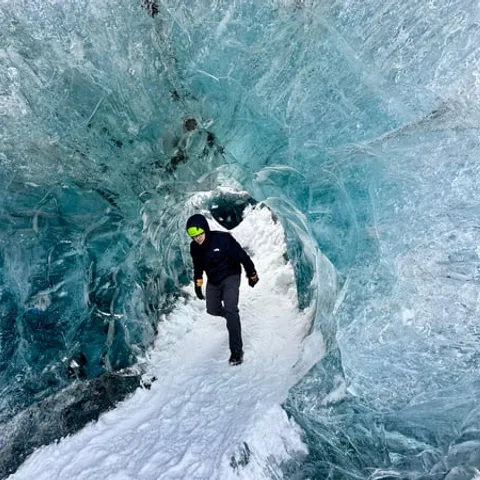
After 1890, most glaciers began to retreat and since the year 2000 the outlet glaciers have retreated exceptionally fast, and their mass loss is among the highest recorded in the world.
Is this glacier walk worth booking now?
Know this first
- Ice cave access runs from November and usually through March, weather permitting.[3]
- Small group: limited to 12 participants on the blue ice cave and glacier hike.[5]
- Reserve now, pay later, and cancel free up to 24 hours in advance.[5]
- The Skaftafell blue ice glacier hike is from US$106 and runs four hours.[8]
On the day
- Skaftafell is about 327 km (203 miles) from Reykjavík, a drive of approximately 4.5 hours.[4]
- Parking at Skaftafell is 1,110 ISK for a passenger car of 5 or fewer seats.[9]
- Skaftafellsstofa opens 9-19 in June to August and 10-17 in January and February.[10]
- Easy glacier hikes such as the Blue Ice Experience have a minimum age of 8 years old.[11]
The retreating snout: why the walk to the ice gets longer
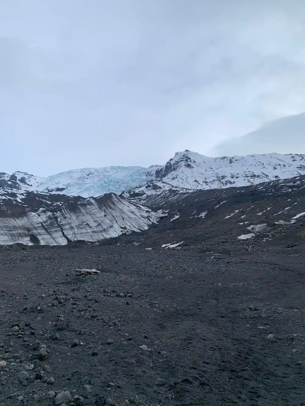
Stand in the car park at Skaftafell and the route to the ice begins over grey gravel, pale sand and tumbled rock. That ground has only recently been uncovered by ice, and every season the guided line out onto Falljökull crosses a slightly longer stretch of bare ground before anyone steps onto the white surface. The edge is where the change is easiest to see, and it is also the part of the glacier you meet first.
Vatnajökull is enormous. The glacier has a surface area of approximately 8,100 square kilometers (3,127 square miles), and it is the largest glacier in both Iceland and Europe.[1] Its ice averages about 380 metres thick, and in places it is almost a kilometre deep.[12] Those numbers describe a mass of ice that took a very long time to build and that is now visibly on the move.
Since the year 2000, Icelandic outlet glaciers have retreated exceptionally fast, and their mass loss is among the highest recorded in the world.[2] Falljökull is one of those outlet glaciers, a tongue of ice hanging off the main cap rather than a glacier with a source high in its own mountains. Watching the snout pull back is not dramatic on a single visit. Over the seasons it becomes unmistakable.
Measuring the loss: how thinning is tracked on the ice cap
Glaciologists do not estimate the state of an ice cap by eye. They measure it, year after year, using a mix of fieldwork and remote sensing. Repeated surveys of the ice surface, stakes drilled into the glacier to record how much ice disappears in a season, and satellite readings of the height of the cap all feed the same long record.
The scale of what is being measured is hard to picture. An average thickness of about 380 metres, and almost a kilometre in the deepest places, means an enormous mass of frozen water sits above the bedrock.[12] Underneath that mass are volcanoes. The three most famous subglacial volcanoes under Vatnajökull are Grímsvötn, Öraefajökull and Bardarbunga.[13]
What the record shows is a direction rather than one bad summer. Since the year 2000, the outlet glaciers of Iceland have retreated exceptionally fast, and their mass loss is among the highest recorded in the world.[2] A cold winter changes the surface of the snow for a while. The long series of measurements is what reveals where the ice is going.
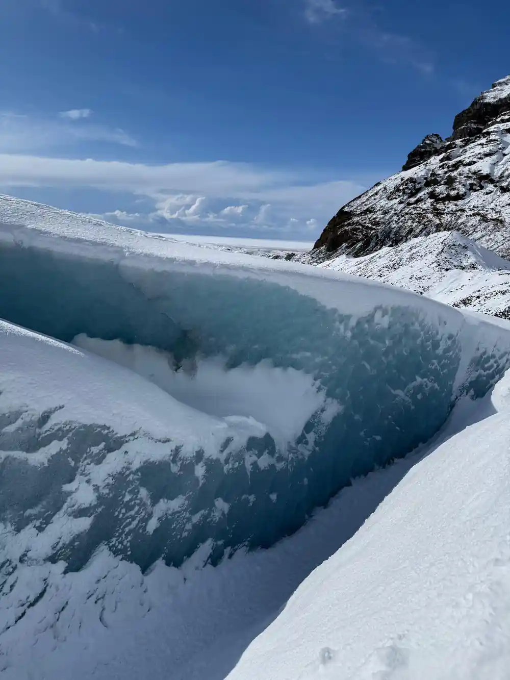
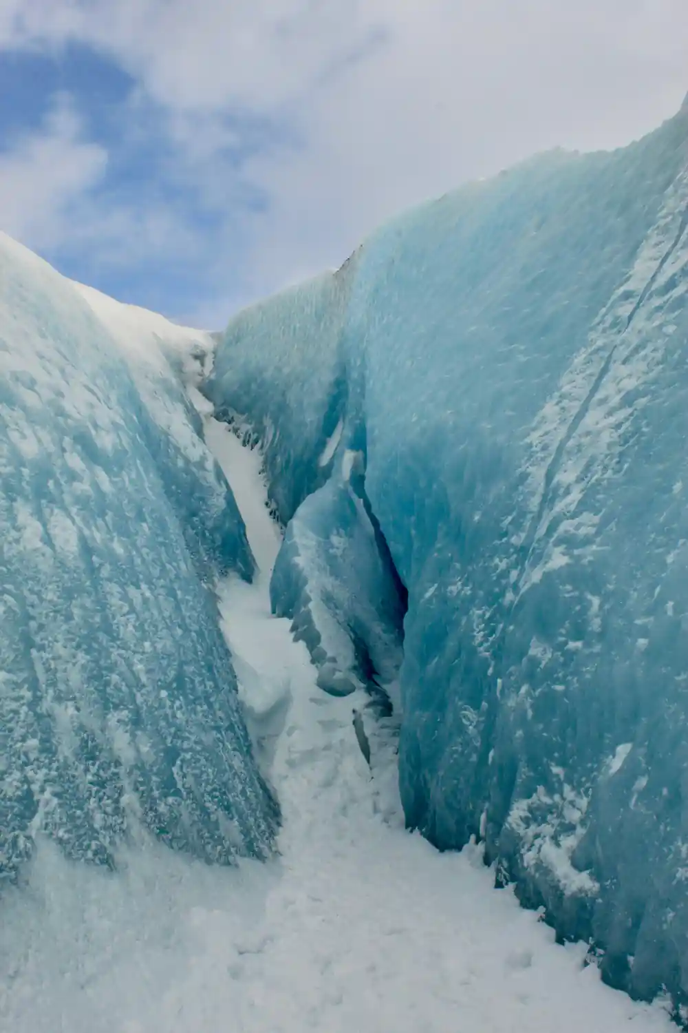
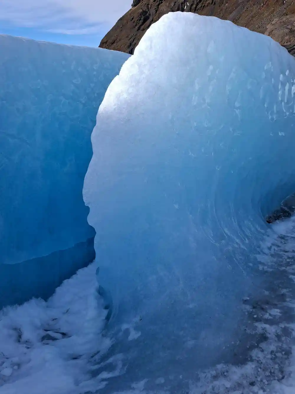
Blue light on the walls of an ice cave under Vatnajökull, where the ice is dense enough to glow.
Moraine, lagoons and ash: what the retreat leaves behind
A retreating glacier is not tidy. As the ice pulls back it drops everything it has been carrying, from house-sized boulders to gravel, sand and rock dust ground as fine as flour. The result is moraine: low ridges, humps and uneven sheets of loose material with almost no soil on top, where moss, birch scrub and small willows slowly take hold. Nothing here is settled ground. You are walking over material the ice has just set down.
Water is the other legacy. Meltwater runs milky grey with suspended rock flour, and where it pools behind old moraines it forms lagoons that keep changing shape from year to year. Jökulsárlón, down the coast, is the best known of them: the direct drive from Skaftafell is 35.4 miles (57 km) and takes about 50 minutes in normal traffic.[14] On the lagoon, an amphibian boat tour lasts 30-40 minutes.[15]
Ash leaves a third mark on the landscape. When a volcano erupts under or beside the ice, the fallout is buried by later snow and squeezed into dark layers. On a blue ice wall those layers show up as thin black lines running through the ice like the grain in a plank of wood. Above this stretch of coast, Hvannadalshnúkur reaches 2110 m (6900 ft).[16]
Blue ice: how long it lasts and why it glows
Glacier ice begins as snow. As the layers pile up, the air between the crystals is squeezed out, and after enough pressure the ice becomes dense and clear. Light passing through ice that dense loses the warmer colours and leaves the blue behind. Deep, thick walls end up looking almost lit from inside, and the glow is a property of the ice itself.
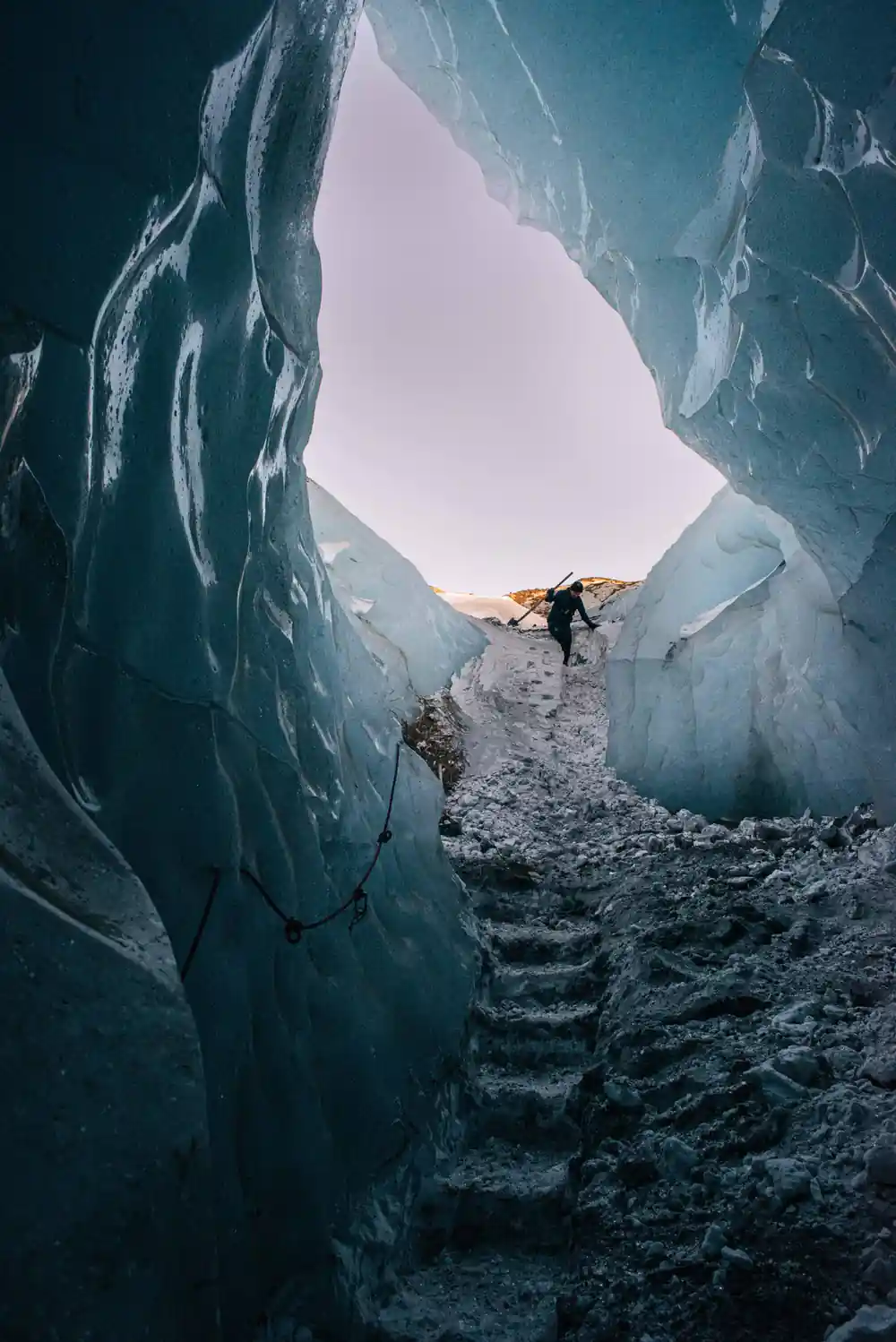
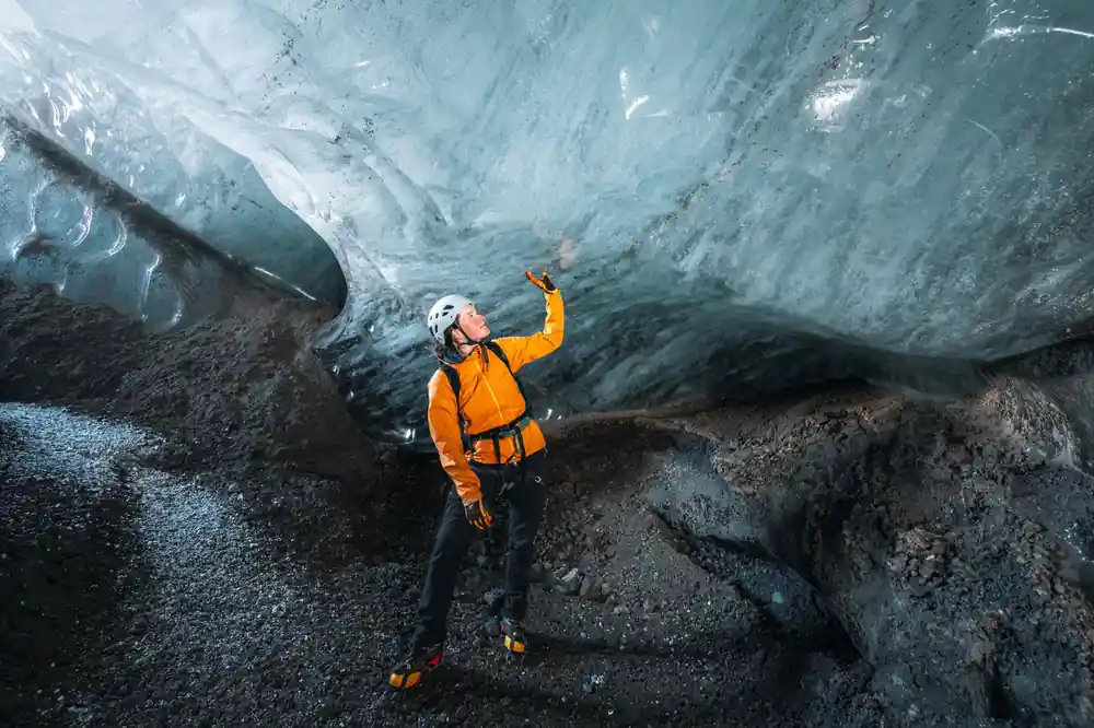
How long does blue ice last? A cave that glows deep blue in early winter can have a different shape, or be gone altogether, by March. The ice caves in Vatnajökull are only accessible during the winter months, from November and usually throughout March, depending on the weather.[3] Guides choose the cave on the day. The route can change between two departures in the same week.
Seasonal caves are the norm in this part of Iceland, but they are not the whole story. The Katla Ice Cave is a natural ice cave in the Mýrdalsjökull Glacier, formed by the volcanic glacier that sits above the Katla volcano, and it is one of the few ice caves in Iceland that can be visited year-round.[17] If you are travelling outside the winter window, that is the cave to look for.
from US$167
The Skaftafell blue ice cave and glacier hike runs four hours, with a live guide in English in a group limited to 12 participants.[5]
Falljökull: the outlet glacier above Skaftafell
Falljökull is a striking outlet glacier of the vast Vatnajökull ice cap.[18] It is the ice that hangs above the Skaftafell side of the national park. The Skaftafell: Blue Ice Cave & Glacier Hike on Vatnajökull follows a route that runs by bus and coach to Vatnajökull, then Falljökull, then back by bus and coach.[5]
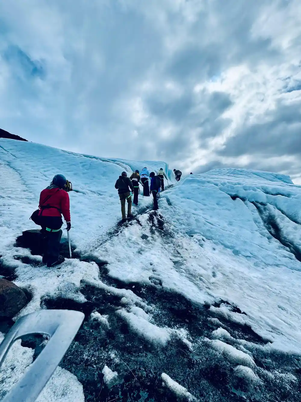
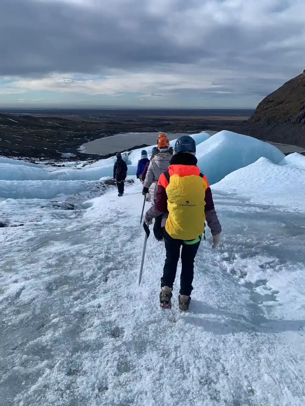
What you walk on is not a smooth white slope. The surface is creased, cracked and streaked, with ribbons of blue ice between patches of snow and grey grit, and shallow streams running across it in mild spells. A glacier is always in motion, sliding and deforming under its own weight. A line that was straightforward in the morning can be adjusted by the afternoon. The blue shows itself where the surface is worn and light gets in, often in the hollows that running water has cut.
The scale around you is different from the scale under your feet. Underfoot it is a few metres of ice, a rope and a steady pace. On the horizon it is an ice cap covering 8,100 square kilometers (3,127 square miles), and the walk in front of you is one small way into it.[1]
Planning the trip: driving, parking and opening hours
Vatnajökull National Park was inscribed on UNESCO's list of World Heritage Sites on 5 July 2019.[19] Skaftafell is the main gateway on the southern side of the park and sits about 327 km (203 miles) from Reykjavík by car via Route 1, a drive of approximately 4.5 hours.[4] It is a long way for one day, and a night on the south coast makes the next morning much easier.
Parking at Skaftafell is subject to a regional fee, with a passenger car of 5 or fewer seats charged 1,110 ISK.[9] The visitor centre is worth a stop before you set off: Skaftafellsstofa opens 10-17 in January and February, 9-17 in March to May, 9-19 in June to August, 9-18 in September and October, 9-17 in November, and 10-17 in December.[10]
If you would rather not drive far after a day on the ice, Fosshotel Glacier Lagoon is a four-star superior hotel a stone's throw from Skaftafell, with 125 rooms.[20] In winter, leave slack in the plan. Snow, wind and changing ice conditions can move a schedule, and short daylight leaves less room to make up lost time later.
See the ice now: what a guided glacier tour gives you
The Skaftafell: Blue Ice Cave & Glacier Hike on Vatnajökull starts from US$167 and runs four hours with a live tour guide in English, in a small group limited to 12 participants.[5] It is rated 4.62 from 848 reviews.[5] You can reserve now and pay later, and cancel free up to 24 hours in advance for a full refund.[5]
A guide earns their place on a glacier. The surface changes with every warm spell and every storm, and the person at the front of the rope reads it all day: where the snow bridges are thin, where water is running, which cave is safe to enter. On easy glacier hikes such as the Blue Ice Experience on Skaftafell, the minimum age is 8 years old, and more difficult glacier walks may have a higher minimum age.[11]
Part of the appeal of a trip like this is that it will not last. Ice in a cave is temporary, the snout of the glacier moves back season by season, and the walk from the car park grows as it does. A four-hour winter walk puts you inside that change instead of reading about it.[5] Go with a guide, go in winter, and see the blue while it is still there.
From-prices for glacier and ice cave tours on Vatnajökull
Every bar is a GetYourGuide from-price for that listing:[5][6][7][8][21]
What a Vatnajökull glacier tour costs
US dollar from-prices per adult from GetYourGuide listings[5][6][8]. The listings do not publish a separate child rate.
When to go, season by season
Plan your glacier day
Pick a winter date
Ice cave tours run from November and usually throughout March, so aim for the middle of that window if you can.[3]
Book the tour ahead
The small group is limited to 12 participants, and reserve now with pay later keeps your options open.[5]
Drive to Skaftafell
It is about 327 km (203 miles) from Reykjavík via Route 1, roughly 4.5 hours of driving.[4]
Allow time for the lagoon
Jökulsárlón is 35.4 miles (57 km) further on, about 50 minutes in normal traffic.[14]
Dress for wet cold
Waterproof outer layers, gloves and a warm hat make the hours out on the ice far more comfortable.
Walk into the blue ice while the winter caves are open
from US$167Reserve now & pay later